| Membership | Price (+HST) |
|---|---|
| Single | $85/year |
| Single Plus | $120/year |
| Family | $130/year |
| Family Plus | $175/year |
| Contributing | $300/year |
| Supporting | $600/year |
| Sustaining | $1,000/year |
| Benefactor's Circle | $2,500/year |
| Director's Circle | $5,000/year |
| President's Circle | $10,000/year |
Earth Day Pictorial Nature Map
By Kerilyn Perron, GIS Mapping Technician, Royal Botanical Gardens
Celebrated annually, Earth Day is a global event to create awareness for environmental conservation and to encourage people to take action to reduce environmental impacts and protect our planet.
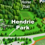
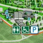
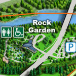
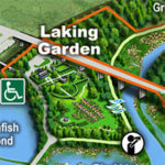
This Earth Day, Royal Botanical Gardens honours our part in taking care of the planet with this pictorial map created by RBG’s GIS Mapping Technician.

Key features:
Across RBG
- Diverse Trees
Hendrie Park
- The Hendrie Park Gates
- The Rose Garden
- The Scented Garden Fountain
Natural Lands
- Conservation
- Turtle Habitat
- Grasslands
- Hiking & Recreation Activities
Rock Garden
- Music at Rock Garden
- Waterfall
- Conifer Trees
Laking Garden
- Iris
- Narcissus spring bloom
- Cabbage Butterfly
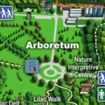
Arboretum
- Magnolia Collection
- Cherry Tree blossoms
- Lilac blossoms
- Propagation
RBG Centre
- Mediterranean Greenhouse
- Herbarium
- Blossoms and Flowers in the Breezeway
What is a Pictorial Map?
This style of cartography predates the 19th century and gained popularity in the middle of the twentieth century. Pictorial maps overlooked the scientific accuracy of survey maps and drew upon the atmosphere and legends that make places unique.
The creative use of illustrations, images and text enhance the cartographic theme: a celebration of recognizable natural features, diversity and landmarks that enhance the gardens and natural lands. The illustrations and images draw the reader’s eye around the world of RBG and provides a glimpse through the verdant landscape depicting the uniqueness of each area. The illustrations and text in the map convey to the reader RBG actions to preserve unique plant species and historic features (ex. The Hendrie Park Gates), conserve ecologically sensitive habitat, sustain the land and everything that grows in or on it, and support biodiversity across all areas of RBG.
GIS Mapping at RBG
In 1998, RBG explored the use of Geographic Information Systems (GIS) to assist with collections management. The value and importance of GIS technology was established to aid digital collections management and mapping. Today, GIS has many uses at RBG, including thematic mapping of the gardens, monitoring invasive species and species at risk, navigation and access to information about what is located in each area of RBG.
Additional Reading and Maps:
More from the RBG Blog
Check out RBG’s blog for announcements, articles, and more from Canada’s largest botanical garden.
Want to be sure you hear first? Sign up for our weekly e-newsletter to hear about upcoming events, weekend activities, articles, and more!

